archive Yukon Land Use Planning Region Boundaries Popular
4307 downloads
yt_planning_regions_250k_May2018.zip
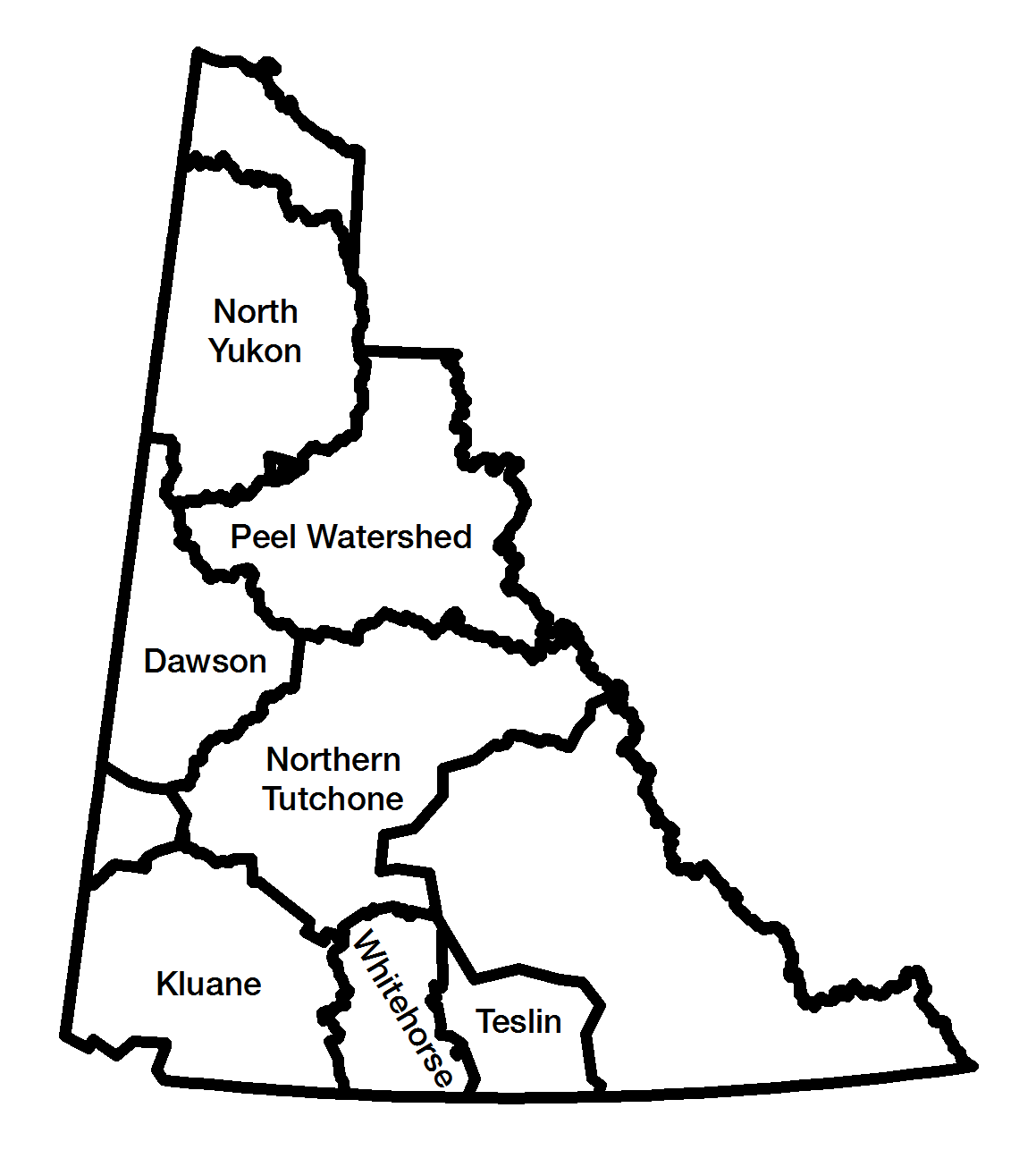
 Yukon Planning Regions are established by Yukon Land Use Planning Council under Yukon First Nation Final Agreements, Chapter 11. Boundaries are generalized from 1:250K Yukon First Nation Traditional Territories, and watersheds, settlement lands and other sources where necessary, and are provisional until agreed to by Yukon Government and the affected Yukon First Nations.
These boundaries reflect the Council's September 16th, 2011 recommendation, and the Dawson Terms of Reference (May 2018). Note that the boundaries in southern Yukon continue to be refined. See the outcomes of a workshop on this here.
